There’s no way I’d be inflicted the job of sticking up these thirty photos upon myself, let along the actual photos on any of you, were it not for the magic of WordPress Gallery, which enables me to shove them all up in one big lump, and you to click through them with just twenty nice clicks. Or not. As you please.
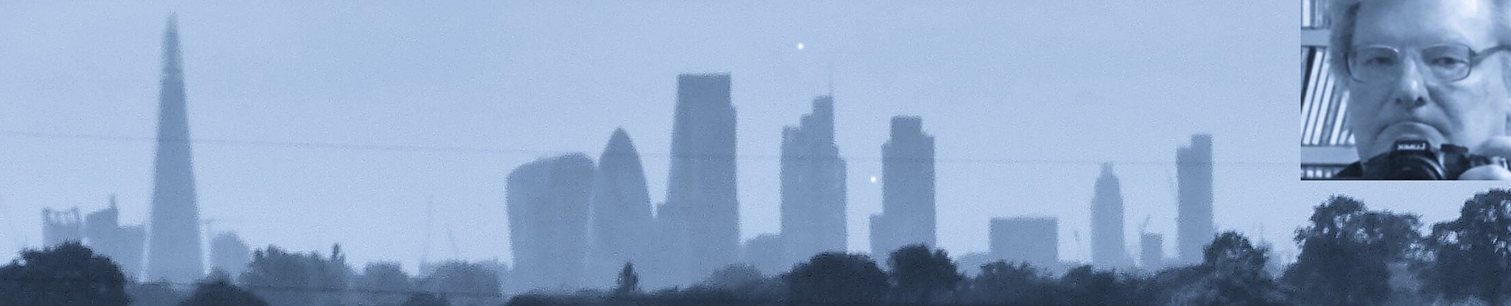
As if often the case, I display them in spite of their photographical quality, but because what they show is so interesting. My plane that day took off right over my favourite clutch of places in the whole world.
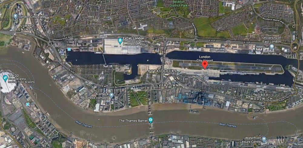
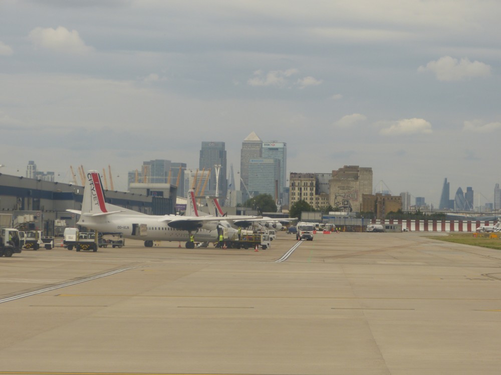
Here’s where the plane took off from, flying from right to left:
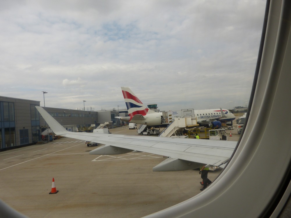
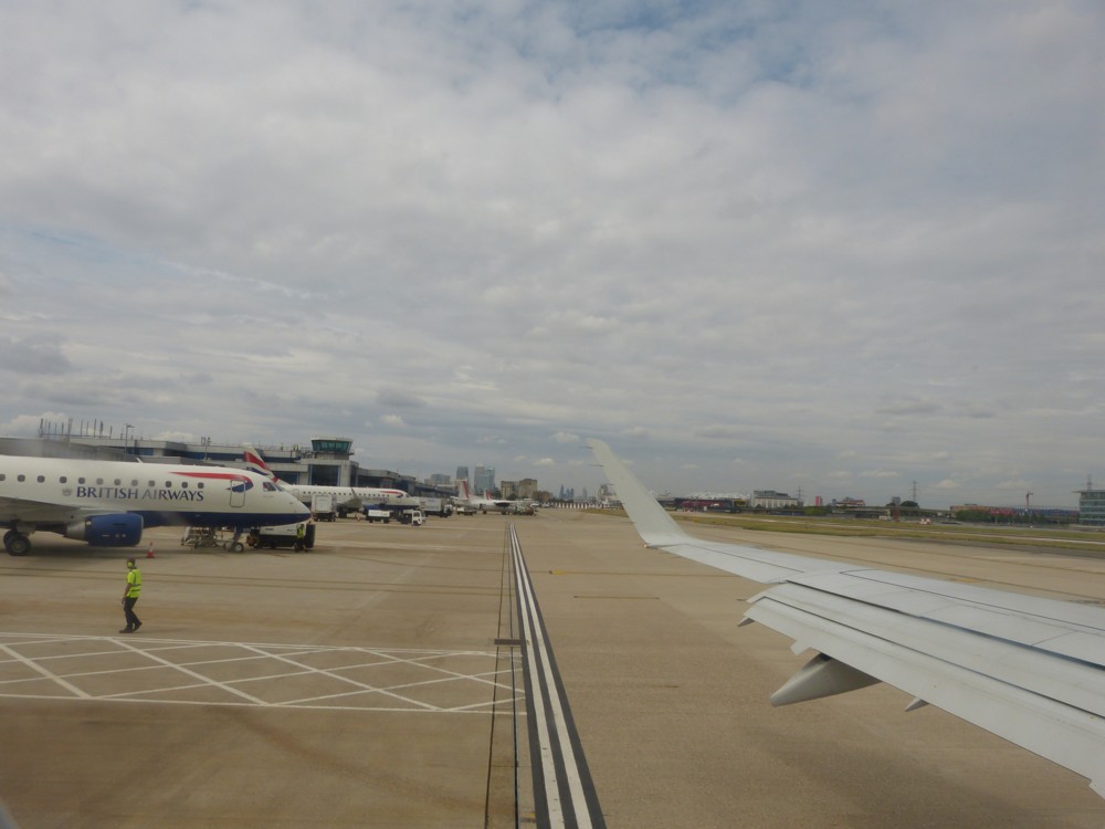
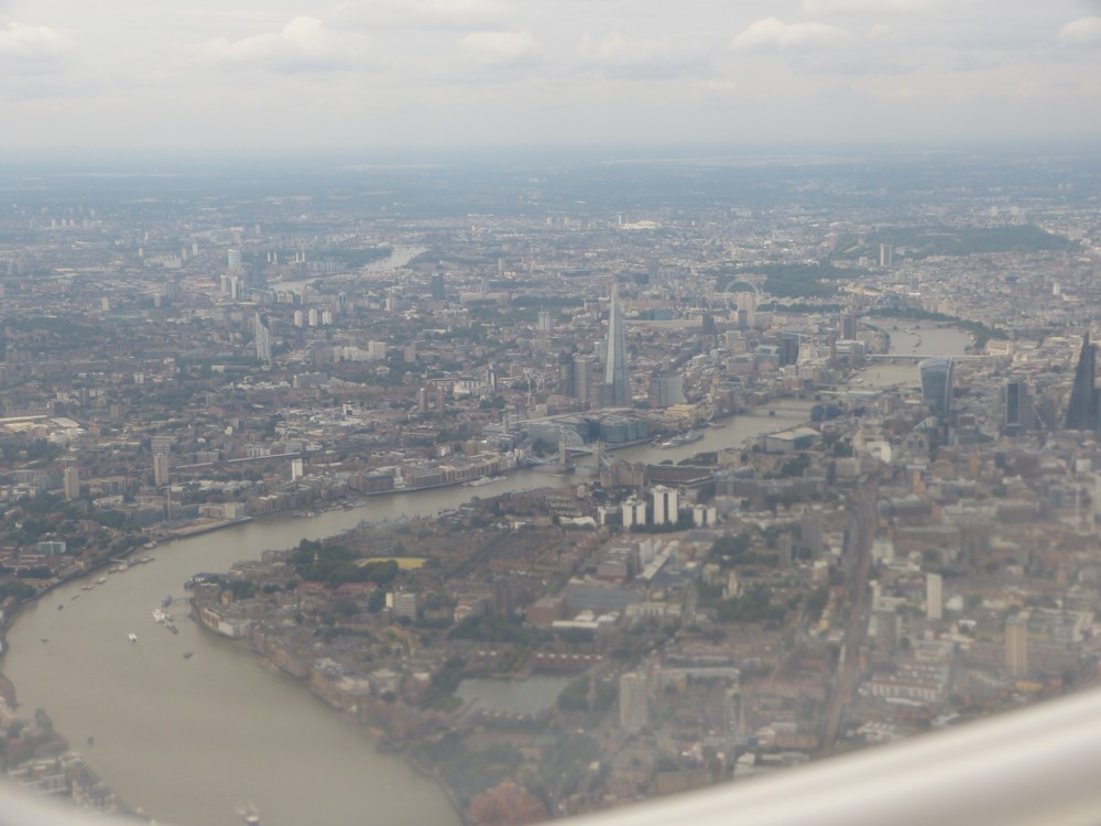
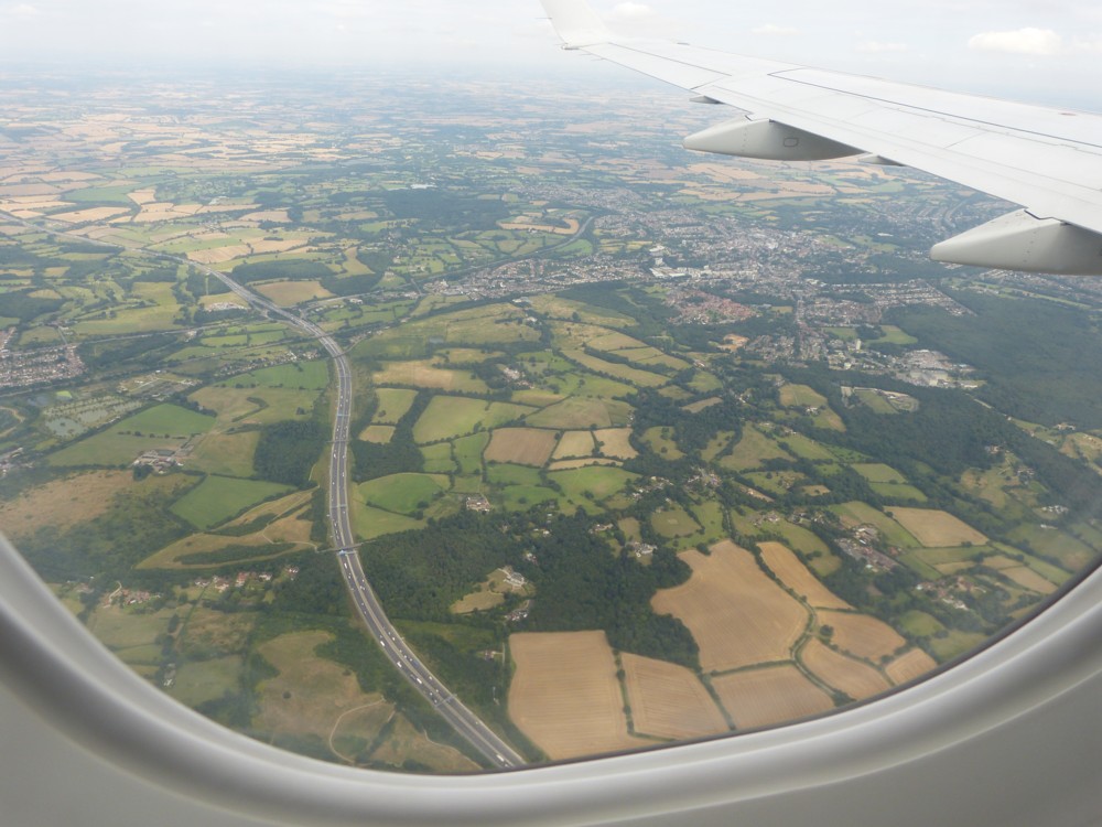
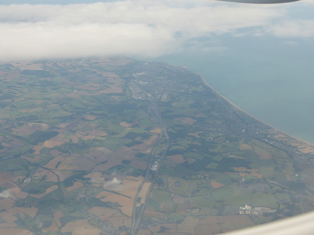
And here is what I photoed from it, presumably in defiance of the instructions of the people bossing the plane, from just before take-off until we arrived, I’m pretty sure, at the English Channel. I was on the left of plane, pointing my camera south towards the River, at any rate at first:
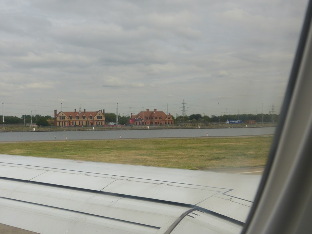
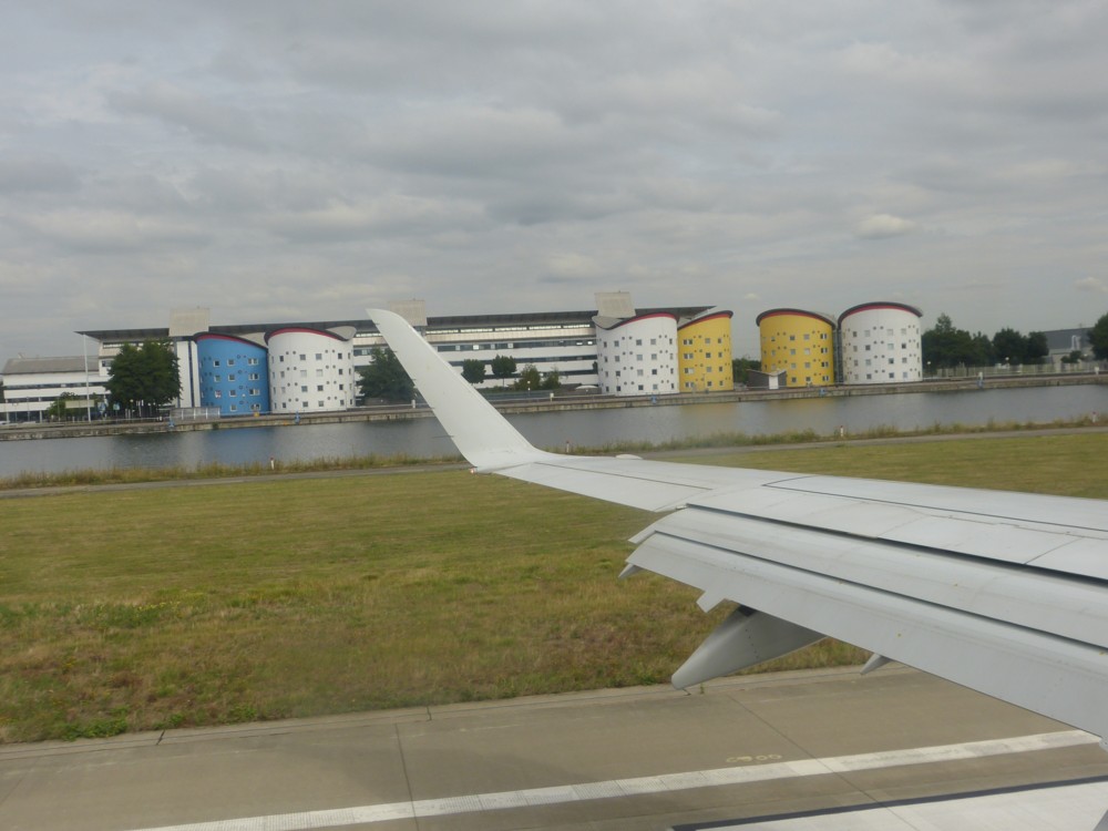
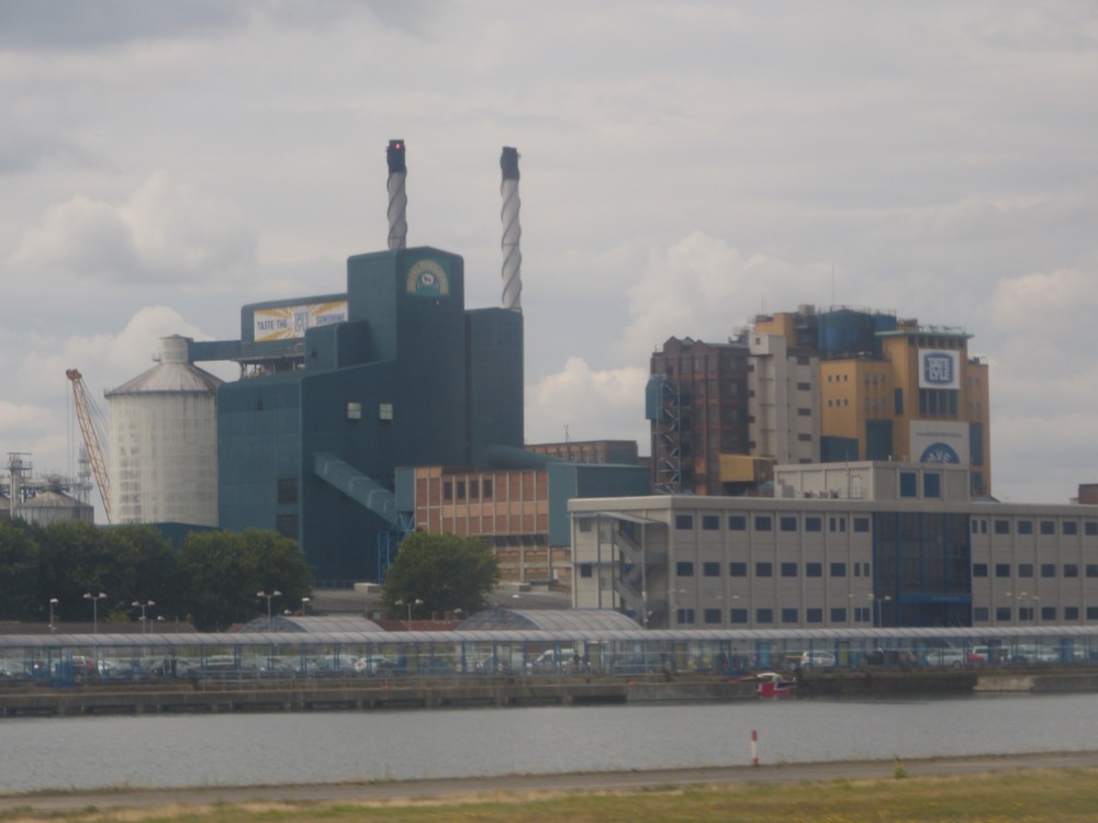
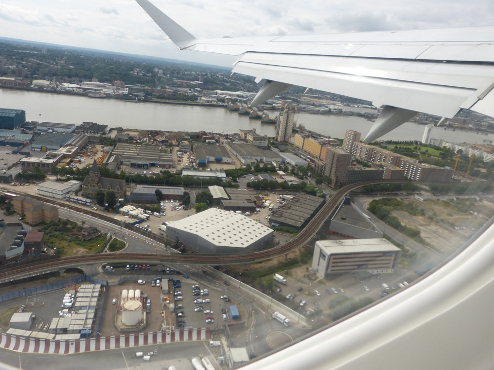
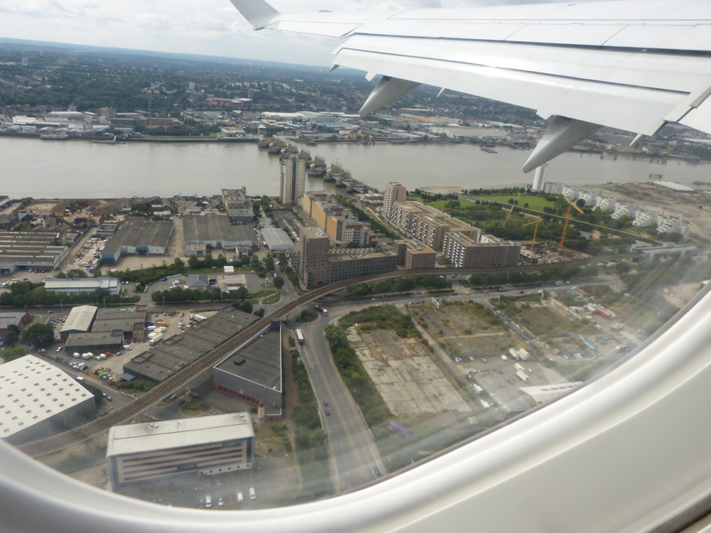
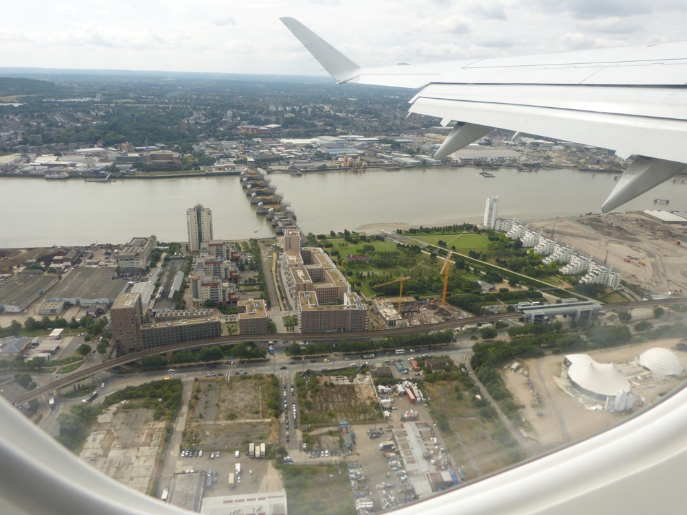
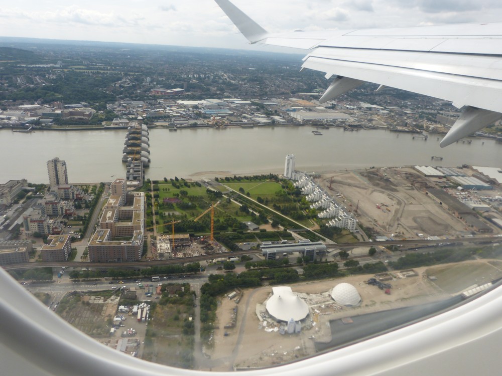
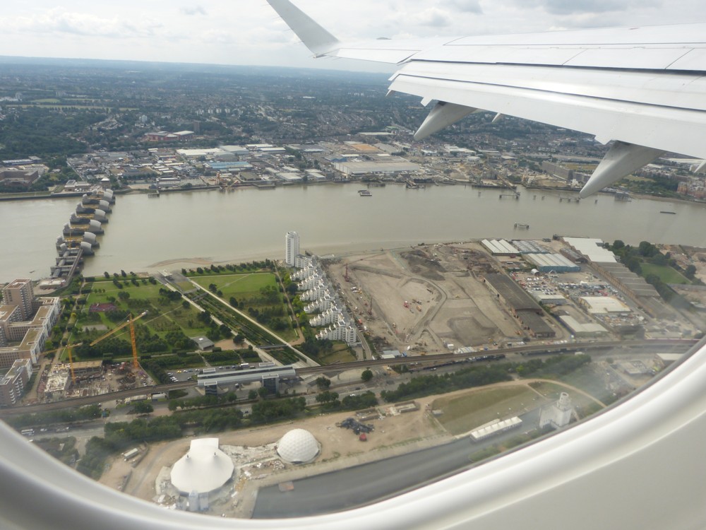
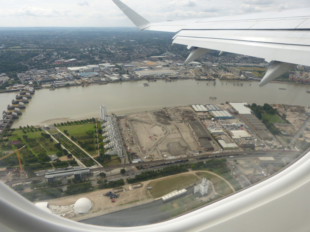
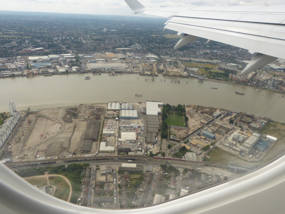
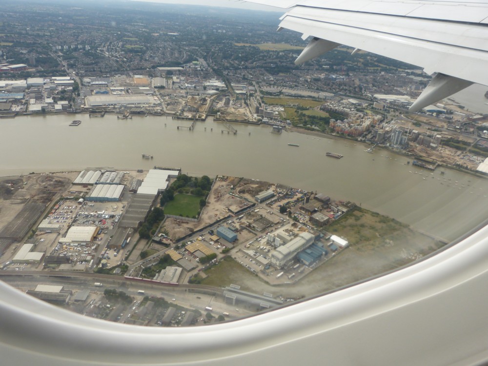
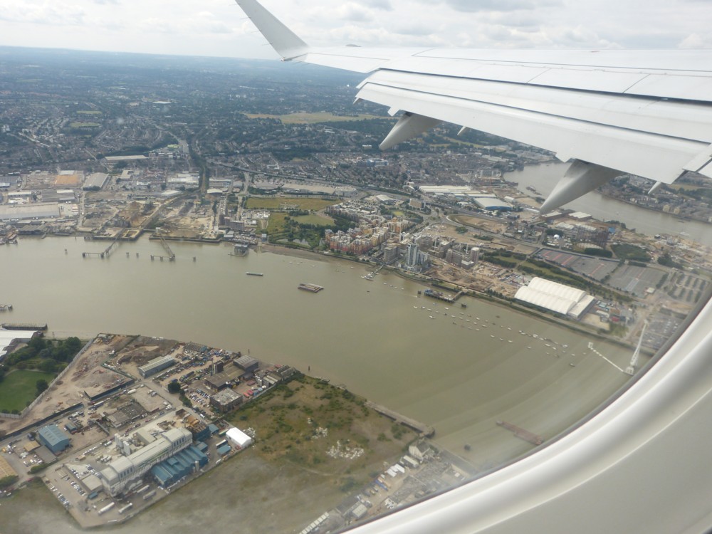
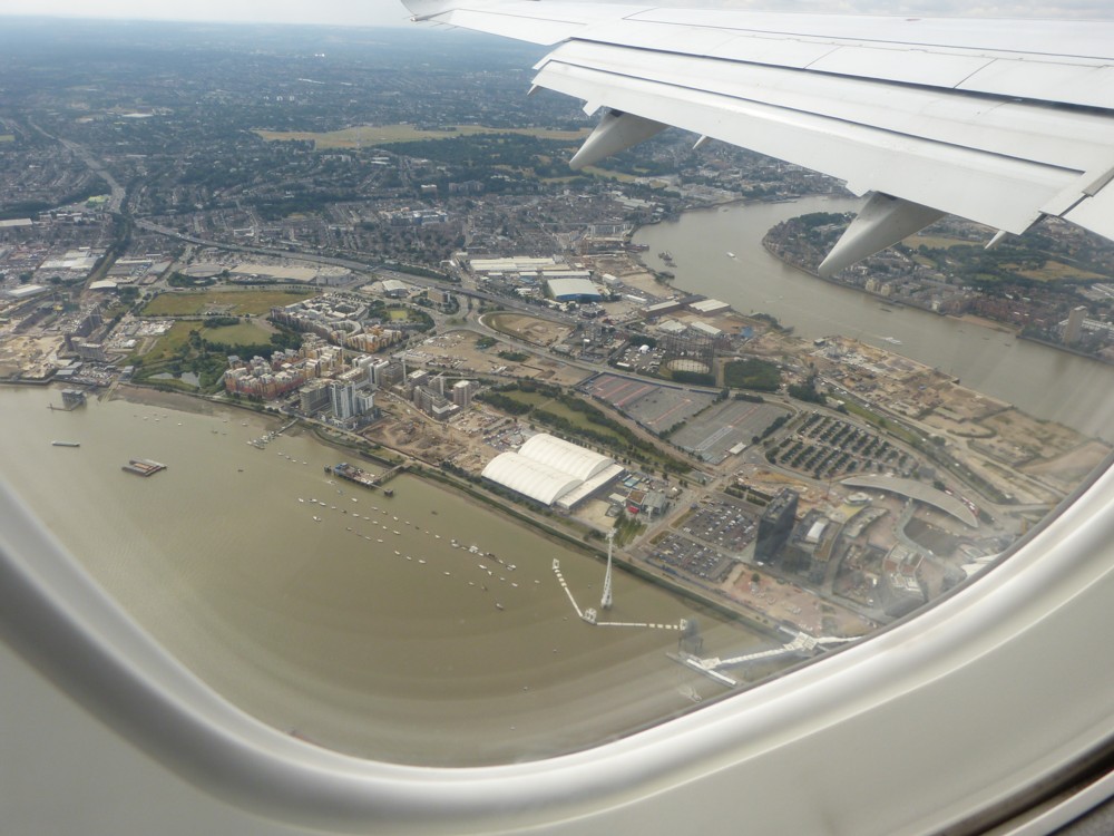
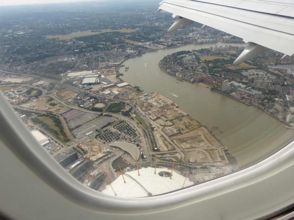
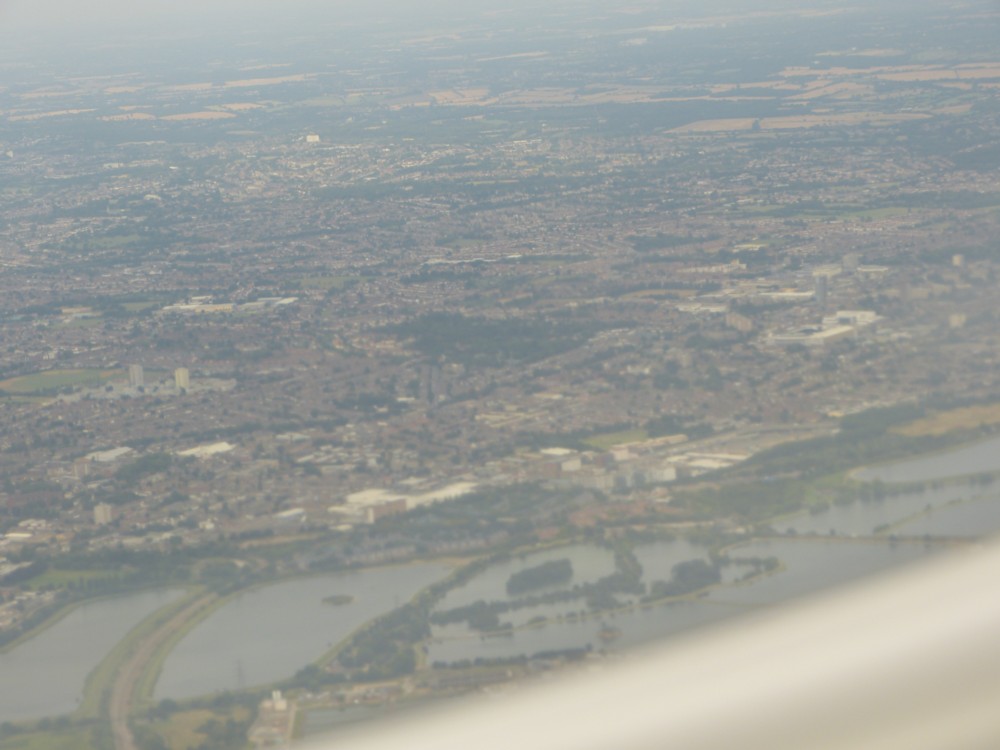
I particularly like the early ones there, of the territory between the western bit of the Victoria Dock and the River. We clearly see the Thames Barrier, and the Dome of course, but I love all that ever-changing muddle in between. I may well, although of course I promise nothing, be using some of those photos again, one at a time, when discussing the details of how this part of London has changed, is changing and will change. No way does it look the same now.
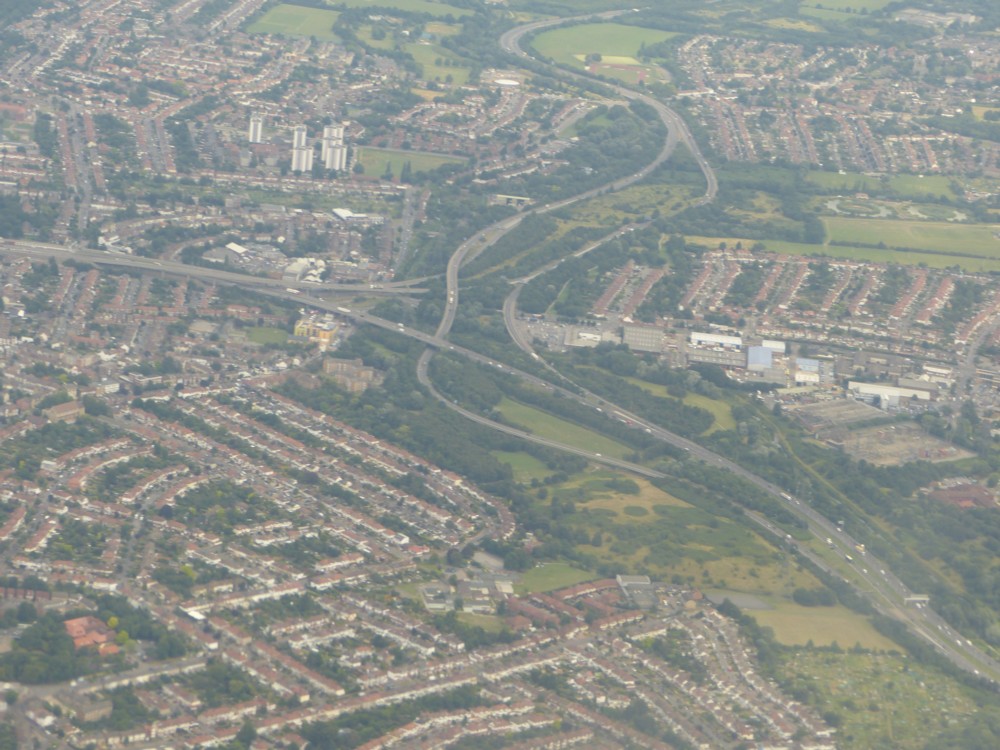
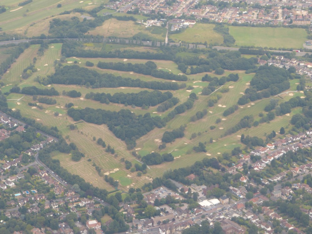
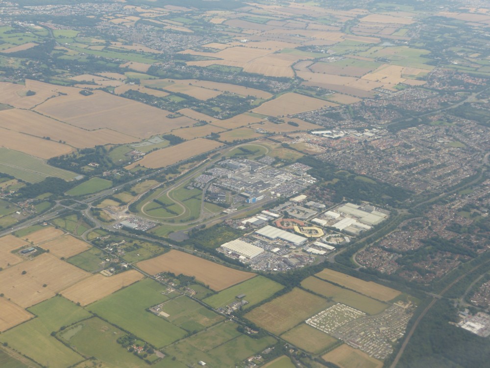
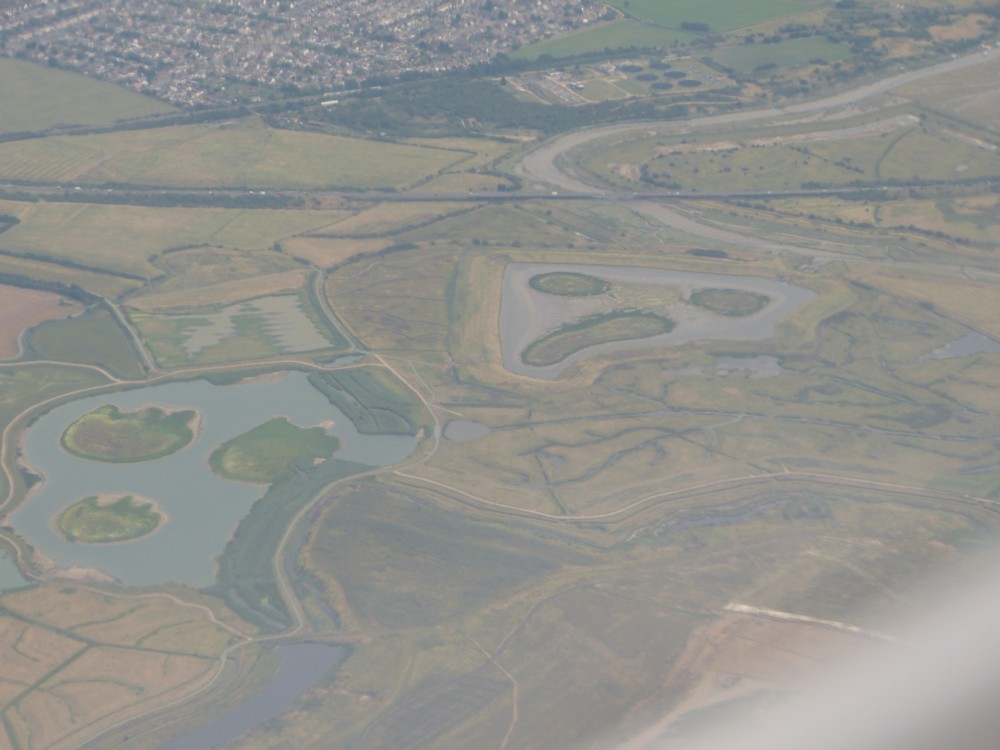
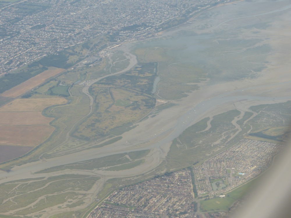
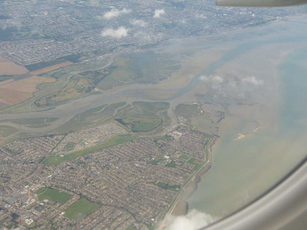
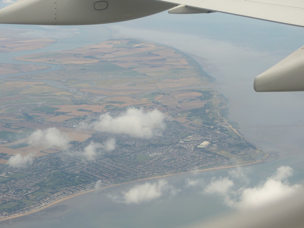
Later you can see, I think, the Walthamstow reservoirs (which call themselves the Walthamstow “Wetlands”), a golf course (which one, I have no idea), a very particular road intersection (ditto), and an aerial view of The Scream, that painting of a woman screaming, with a friend. Then, would that be the Isle of Wight? Don’t know. Commenters who like this kind of thing can, if they wish, elucidate.
If that’s right we did a 270 degree turn, first going north and then going south, on our way to Brittany. Presumably this was to make sure we kept well clear of anything to do with Heathrow.
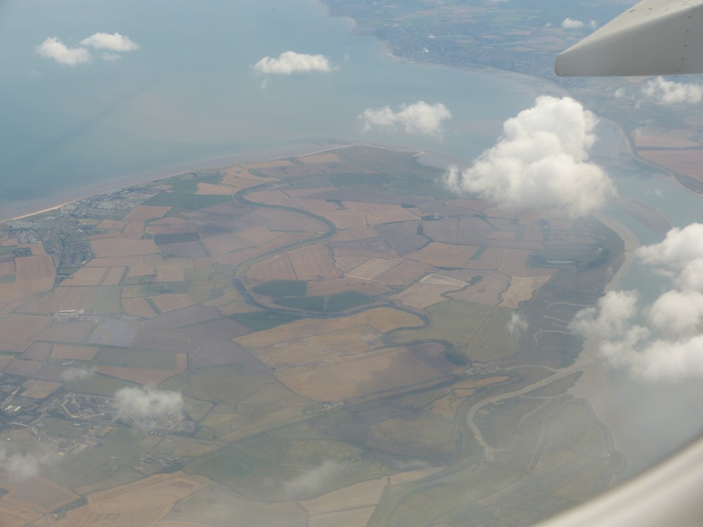
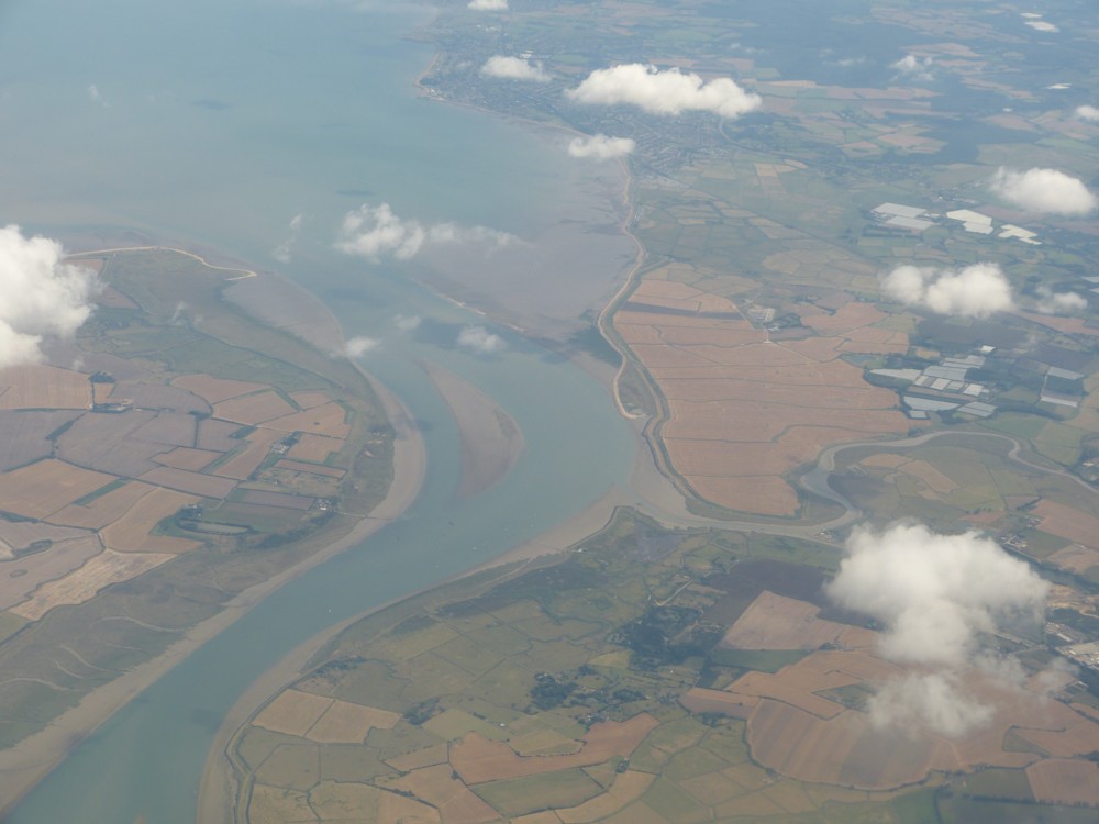
As a liker of this sort of thing I can elucidate that picture 20 is of the M11, North Circular (A406) junction; 21 is of Romford golf club; and you are flying out over the Thames Estuary, not the south coast, so no Isle of White but 25 and 26 are of Canvey Island in the foreground, Two Tree Island in the middle and Southend in the background; 28 is the Isle of Sheppey, the mouth of the Medway and Sheerness on the far bank. When you were taking 25 and 26 you were almost exactly above the London Gateway container port which you so like. It would have been just out of shot to the bottom left.
Alastair
Thanks, that’s exactly the sort of comment I was hoping for. From you. Brilliant.
I was wondering whether these rather average photos were worth putting up. I am wondering no more.
My pleasure.