Tokyo – an aerial photo and a comparative map

Luka Ivan Jukic:

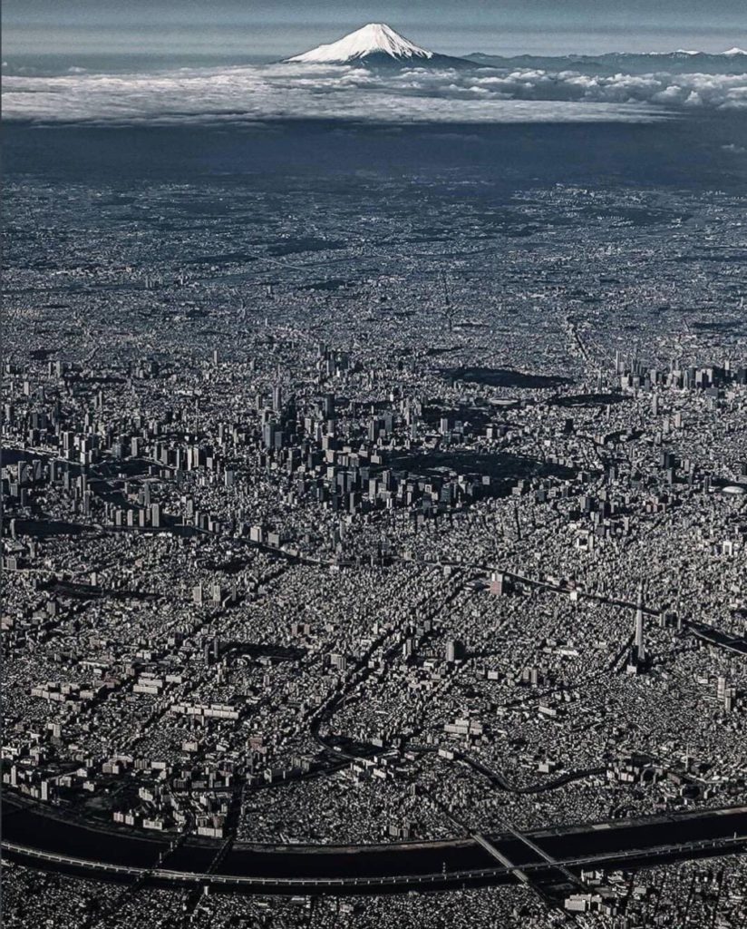
There’s cities, there’s metropolises, and then there’s …:

… Tokyo.

It’s that mountain at the back that really makes this photo. That and the extraordinary amount of architectural detail.

And then, from the responses, there’s this:

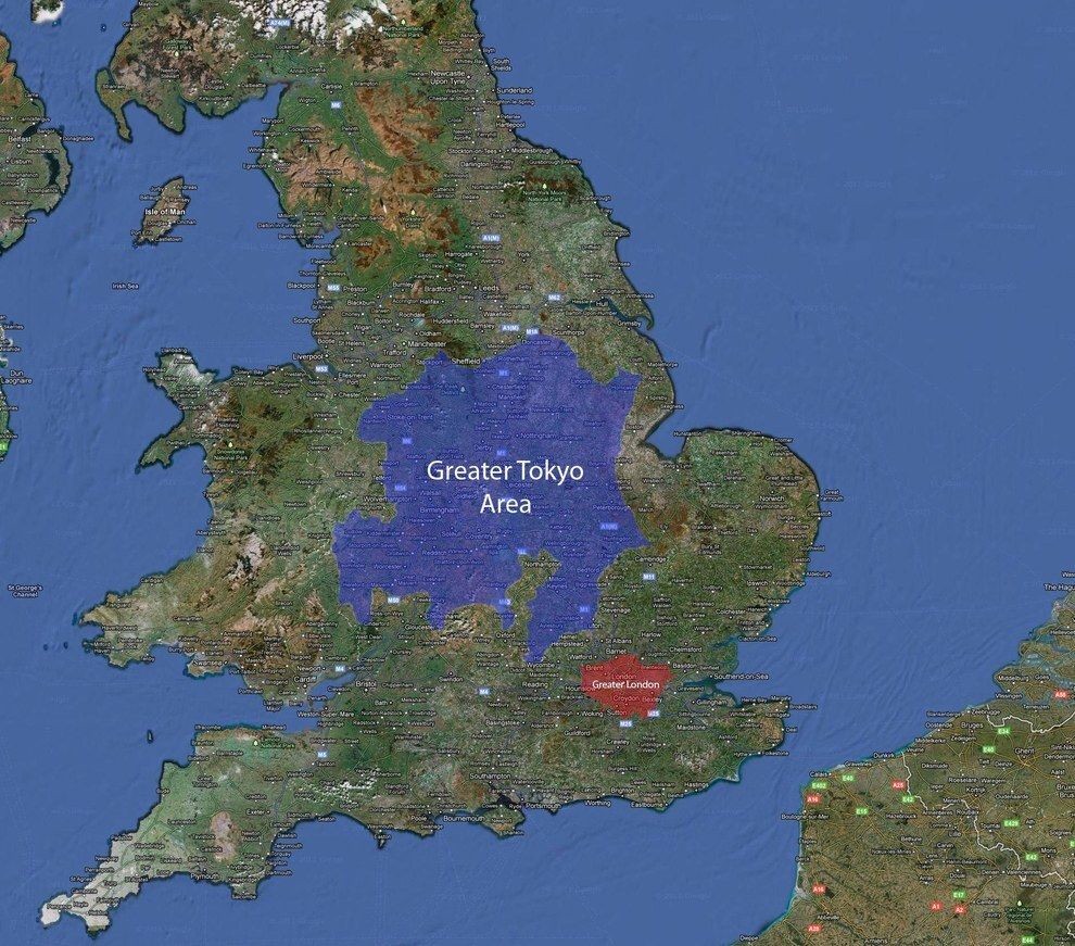
A century ago, London was, or so my TV told me last night, the biggest city on earth.

I blame the Green Belt. This belt (noose?) should be converted into a ring of parks, all surrounded by more London.

How the 1440 bit of Berlin looks now

Incoming from Michael Jennings:

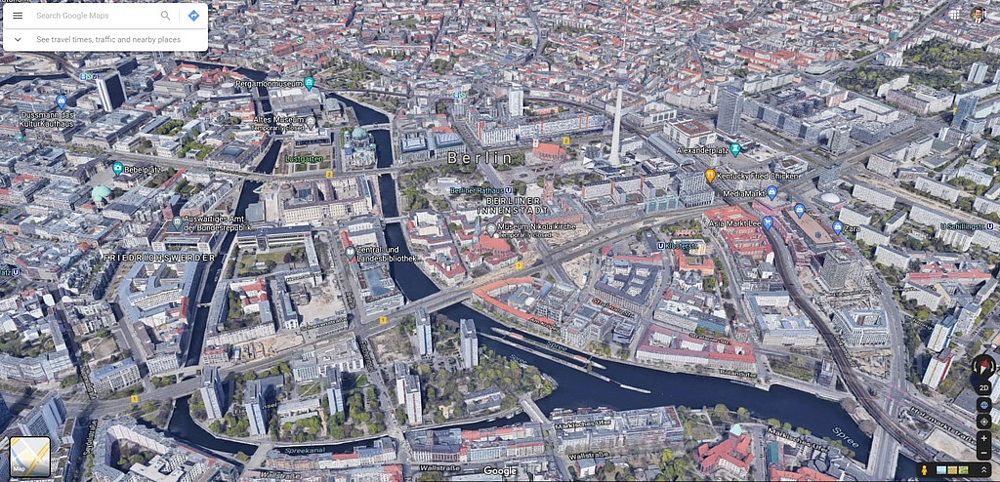
Someone has helpfully provided a photo of the same section of Berlin …

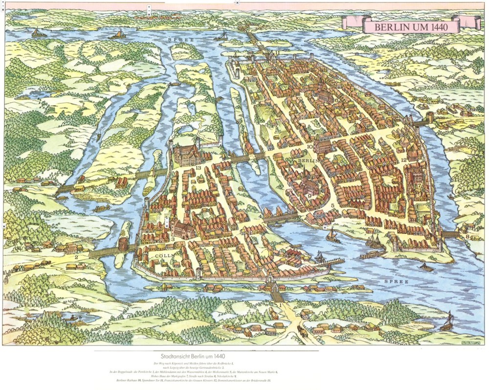
I.e. (see the top of this posting) this section:

This being how this same section looks today:

Many thanks Michael. Michael knows everything about everywhere. But you have to express prior interest in the subject, as I did, which is a good system. If he told you everything about everywhere, all the time, just because he can, that might be a problem. But if he knows the subject interests you, he’s a mine of information. (Some of my best Last Friday of the Month meetings were addressed by him.)

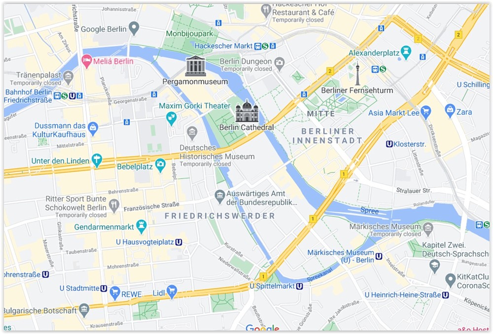
It took me a while to find this place on the Google map of Berlin, but I did find it eventually:

The breakthrough came when, instead of looking only for water, I started looking for lots of bridges.

Like I say, when water does complicated and convoluted things, expect human habitation to be concentrated in that area.

That’s three times I’ve shown that Berlin in 1440 map here. What can I tell you? I like it.

It seems that Berlin has its own version of Tower Bridge

Indeed.

This morning, Twitter showed me this map of Berlin:

Until today, I knew nothing of the origins of Berlin. Cities usually begin with rivers, rivers that wiggle about and create a lot of useful territory next to the river which is closer to all the other such places than usual. So, what did Berlin have in the way of water? The above map says it had and has a lot.

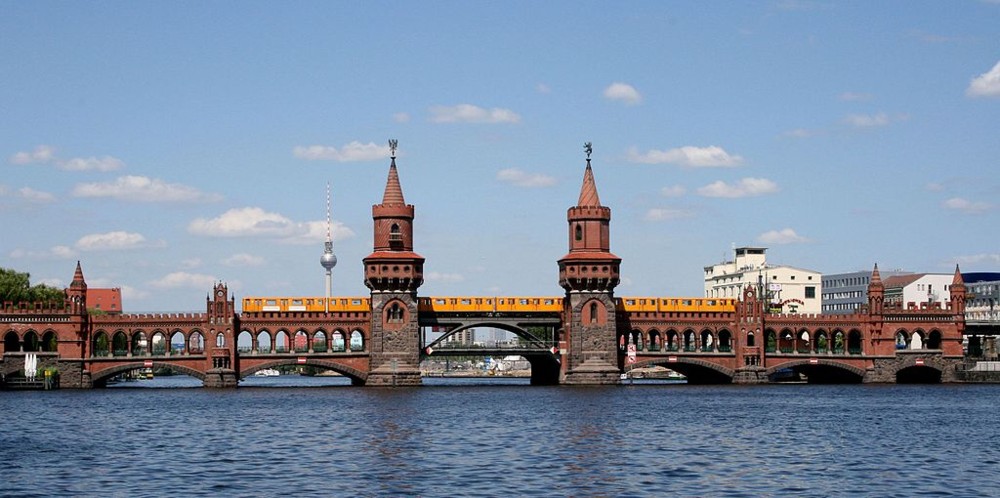
Further investigation of Berlin resulted in me discovering a bridge that I had previously never heard of, namely, this one:

That’s the Oberbaum Bridge. Like I say, never seen nor heard of this splendid Thing until today.

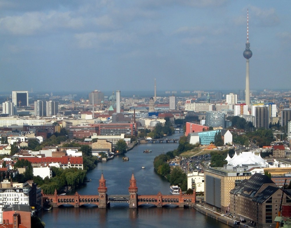
Here’s the same bridge viewed from further above and further away, to give us a bit of the context:

And a pretty boring context it is too, I would say. London, metaphorically speaking, can sleep easy in its bed.

I’m intrigued by what I take to be the updated bit in the middle of the bridge. At first I thought the lower part of the bridge, the road bit, has hinges in it to allow taller boats to go through, but so far as I can make out, this bit is also solid, but the change already made quite a difference to what sort of boats could go through. Basically big river barges, heavily laden all the way across rather than merely with stuff sticking up in the middle. You can see two such boats in the distance. And also another, on the right, which is presumably too big to go through.

I love the internet. Somebody should write a song called that.

But, where in Berlin now is the original 1440 bit, and is there anything now left of it? I don’t see anything quite like those waterways in the map of Berlin now.

The books I’ll be talking about this afternoon with Patrick Crozier

This afternoon, all being well, Patrick Crozier and I will finally get around to doing our podcast on the Industrial Revolution: Good Thing and here’s why it happened.

I will be making the running and Patrick will be heckling me, seeking clarification, etc.

Here are the books I intend to refer to:

I also intend referring to the recent writings of Anton Howes.

The reason we are able to do this is that my voice has got a lot better lately, thanks to the magic pills. I still cough a bit (so apologies in advance if that happens), but nowhere near the ghastliness of about three weeks ago.

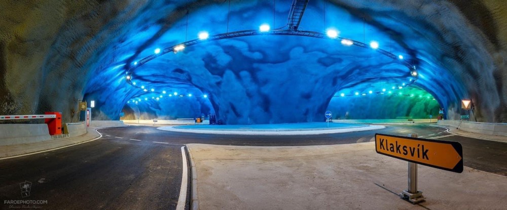
A roundabout under the sea

Joining up three bits of the Faroe Islands, with a roundabout instead of a triangle of separate tunnels:

It’s the red bit in this map. The yellow bits are still to come. There are a lot of yellow bits, to come. I did not know anything about these tunnels. Blog and learn.

Wooden maps of the world’s cities

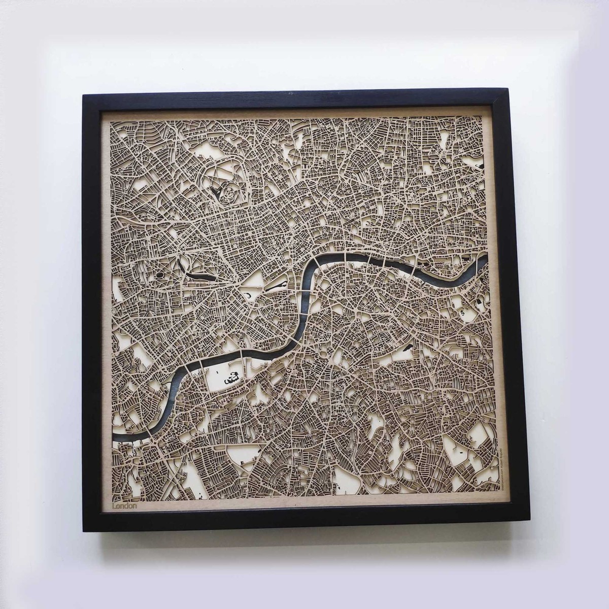
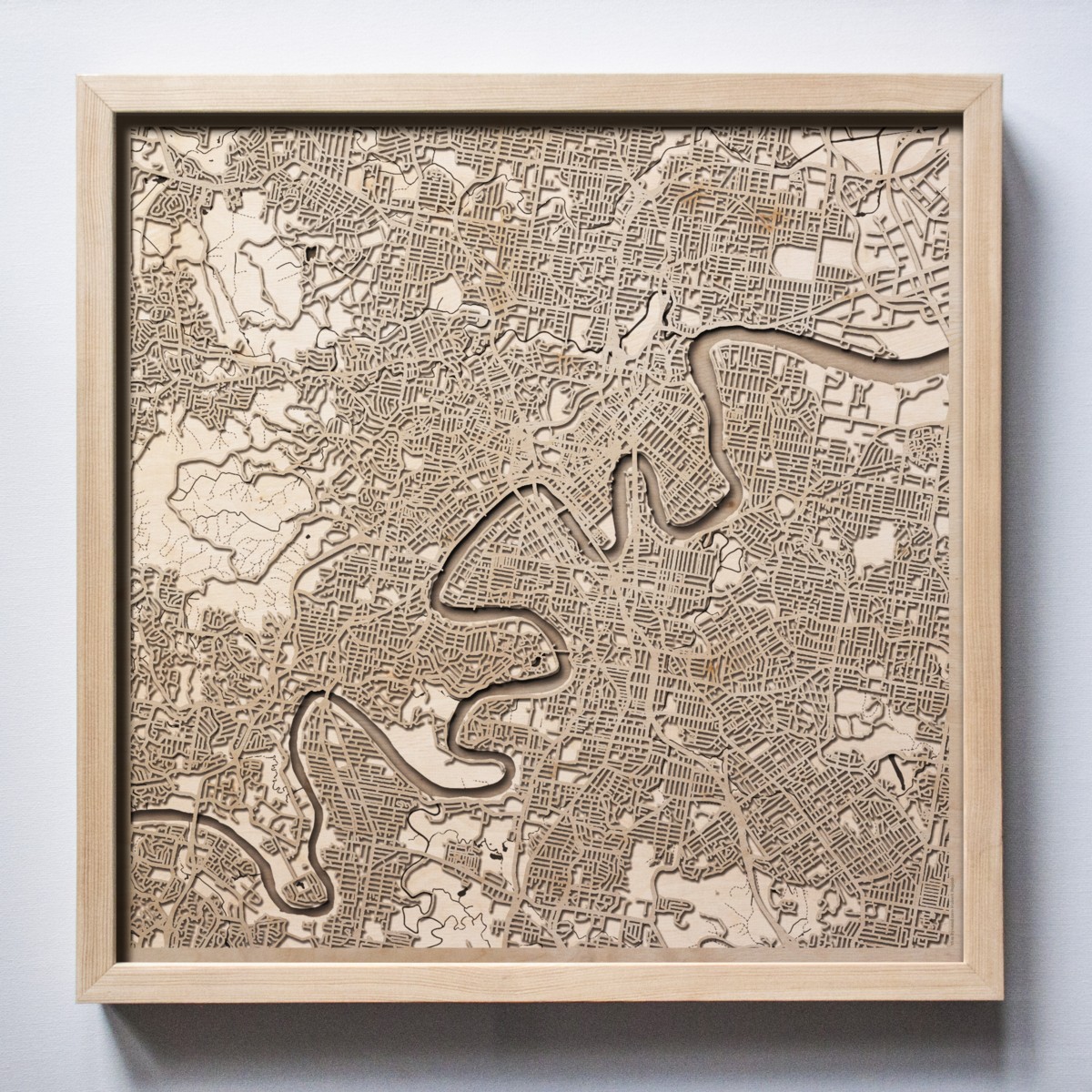
So I did a rootle through the latest stuff at This Is Why I’m Broke, and came upon these rather classy looking carved wooden maps of cities:

The one on the left is London, and sadly, nobody told them that London has been doing a lot of expanding lately, in general, and in particular out eastwards. I’d have preferred wider coverage, including such things as the Thames Barrier. Not that it matters to me, because CDs and books mean I have no wall space at all for such things.

The one on the right is Brisbane. I include this map because the river that runs through Brisbane and which presumably provoked that city’s creation, is positively Parisian in its convolutedness. Apparently, this Brisbane river is called the Brisbane River. I did not know any of this.

Peter Caddick-Adams: If D-Day had been postponed it would have been a catastrophe

I have been reading the recently published book by Peter Caddick-Adams about D-Day, entiled Sand and Steel: A New History of D-Day, the follow-up to Snow and Steel, which was about the Battle of the Bulge. James Holland, quoted on the cover of Sand and Steel, calls it “Magisterial”, which is his way of saying that it is a huge book, with a huge amount of judiciously presented detail. The book is, I’m afraid, too “magisterial” for me now to be ploughing through it from start to finish. What I am now doing is feeling my way into it by looking up, in the index of Sand and Steel, people involved in D-Day whom I already know a little about, and then seeing what Caddick-Adams has to say about them.

I already know, for instance, a bit about Captain James Stagg, the one who supplied Eisenhower with that famous weather forecast, of a break in the bad weather on June 6th 1944, which enabled Ike to say: Go.

Caddick-Adams disapproves of how a little too much honour for this has been heaped only upon Stagg. Stagg was not himself a professional weather forecaster. He did summarise and pass on to Ike what the real forecasters, half a dozen of them, were telling him. That is honour enough for Stagg, but the real hero was the elaborate system that gathered together all the relevant information. Also, the German forecasters told pretty much the same weather story to their superiors, contrary to what Stagg-fans like me had been assuming.

Caddick-Adams is very good about somewhat misleading tales of this sort. His passion for detail, and for tracking down absolutely everyone and anyone who could tell him those details, is all mixed up with him wanting to know what really happened, as opposed to the stories that some people have been in the habit of telling one another, in movies for instance. This great generation of warriors, you can hear Caddick-Adams insisting, deserves nothing less than the truth, the whole truth and nothing but the truth. That being why his books are typically so long. The whole truth of something like D-Day can’t be told in a hundred and fifty pages. Sand and Steel is one thousand and twenty five pages long.

Of a lot more interest, to me, than who exactly we should be praising for that most famous and famously accurate of weather forecasts, is what Caddick-Adams says about what might have happened if the weather on June 6th not been so favourable, and if Ike had consequently been forced to say: No. Not yet. Or for that matter if, given the forecasts he did get, Ike had simply said no anyway.

To know this, you have to know what range of dates the Allies considered suitable for the D-Day landings, weather permitting, and why. The relevant passage from Sand and Steel goes thus (pp, 346-347):

Given the specific moon and tidal requirements for the landing, Hogben recalled …

… Hogben being one of Stagg’s weather forecasters …

… they had just six possible days to invade in June: 5th-7th and 19th-21st. ‘We worked out the odds on the weather on any one of those four days conforming to our needs as being 13-1 against. So meteorologically, D-Day was bound to be a gamble against the odds.’ Admiral Alan G. Kirk, commanding the Western Task Force, recorded the factors that needed to come together for the invasion: ‘The night before D-Day had to be reasonably light so that convoys could keep station with ships darkened: he wrote. ‘Airborne operations also required this, necessitating a night with a full moon, or nearly so.’ Next, Kirk identified that ‘H-Hour needed one hour of daylight before the initial landings to enable bombarding ships to neutralise German batteries and drench the landing beaches’, but it needed to be ‘sufficiently before high water for the demolition parties to remove beach obstacles while still dry’.

However, it also had to be ‘sufficiently after low water in order to permit the landing on certain British beaches where sand bars prevented an assault until two or three hours later’. Ideally, the day would be fixed to ensure ‘a second high water in daylight to permit maximum unloading’. In conclusion, wrote Kirk, ‘the only dates on which all these factors were available were 21-23 May; 5-7 and 19-21 June, or 3-5 July’, though Stagg later observed that if they waited for the perfect set ‘it would take 140 years’.

So, if June 6th had not been the right day to be D-Day, what day would have been?

Here is what Hogben said about that (p. 351):

In speculating what would have happened if the poor weather had persisted on 6 June, leading to postponement until the nineteenth, the New Zealander Hogben stated, ‘As it happened, on 17 June, all six of us produced a forecast for the nineteenth for almost perfect conditions – the invasion would definitely have gone ahead, and would have been an utter catastrophe. Complete failure – for on 19 June the biggest storm of the twentieth century lashed the Channel and I doubt many landing craft would have even made it to the beaches. They would all have been swamped with the high winds. It does not bear thinking about.’

Says Caddick-Adams:

Recent statistical analysis supports this. The storm was a ‘once in forty years’ event, a tempest of slightly less ferocity having lashed the Calvados coast in February 1905, emphasising how lucky Eisenhower was to have opted to go on 6 June. …

Under a photo from his own (presumably vast) collection, of a huge wave crashing over the sea wall at Arromanches-Les-Bains, Caddick-Adams hammers home the same point (also p. 351):

The Overlord meteorologists were aware that violent storms often blew in from the Atlantic to batter the Normandy coast. Much documented was the hurricane of February 1905, which threw huge columns of water at the future invasion beaches and sites for the two artificial harbours. In June 1944, the Allied weathermen spotted a lull in the bad weather, but the tempest that began on 19 June replicated the violence of 1905. Postponing the invasion from 6 June to the nineteenth would thus have been disastrous for D-Day and the landings would have failed.

The point being, although the Allied forecasters got their forecast for June 6th right, they got the forecast for June 19th totally wrong, and unanimously so. They would definitely have said: Go. Ike would surely have concurred. And, it would have been a disaster.

The USSR conquering a whole lot more of Europe than it did. No President Eisenhower. Maybe the atom bomb being ready before the end of the war in Europe? The alternative history ramifications are endless.

Maybe D-Day buffs have long known about this June 19th aspect of the D-Day story, but it was all completely new to me.

Sparklingly witty BMNB QotD: On when clever banter can be called “repartee”

Yes, a champagne Twitter moment from Dan Hannan:

Clever banter can only be called “repartee” if it’s from the Repartée region of France. Otherwise it’s just sparkling wit.

We can all drink to that.

Big Things across the River

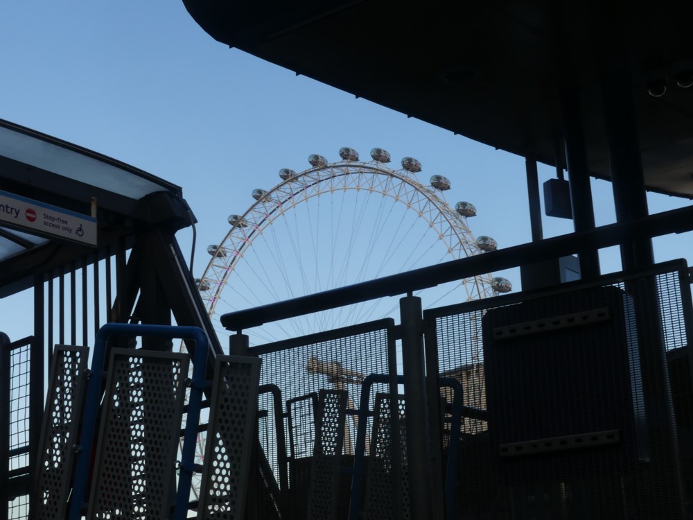
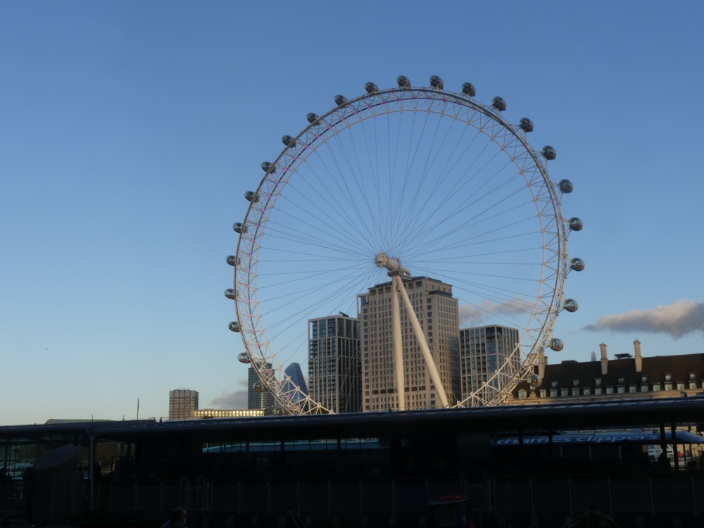
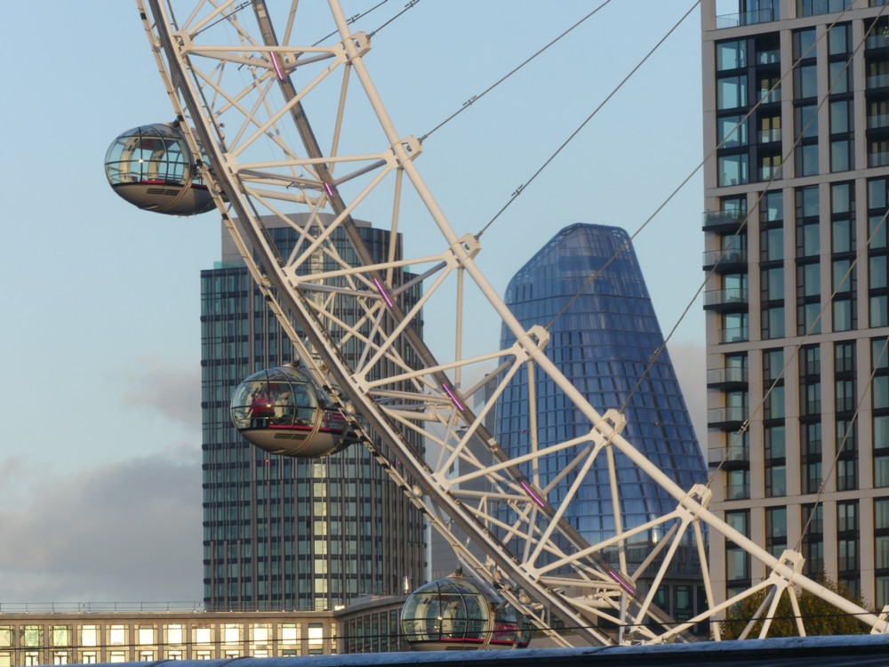
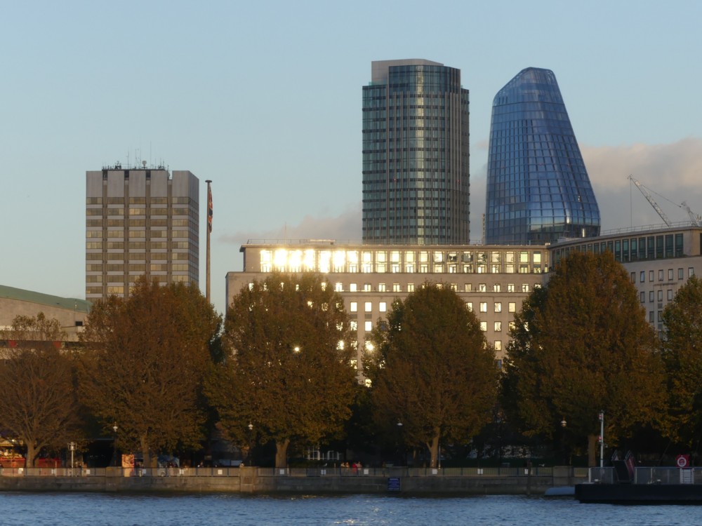
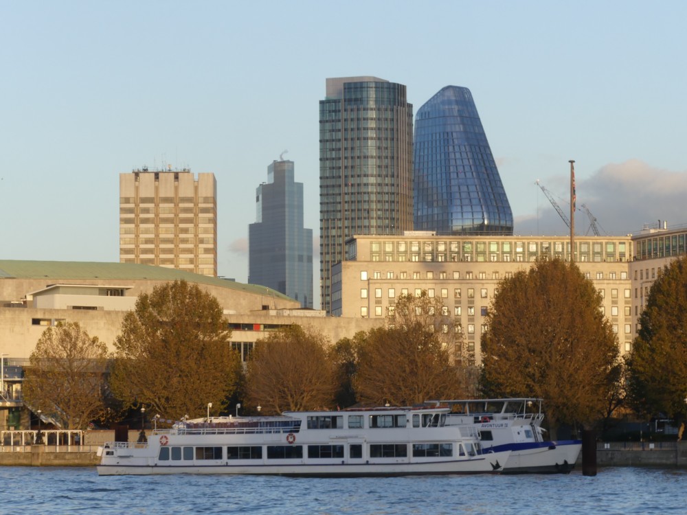
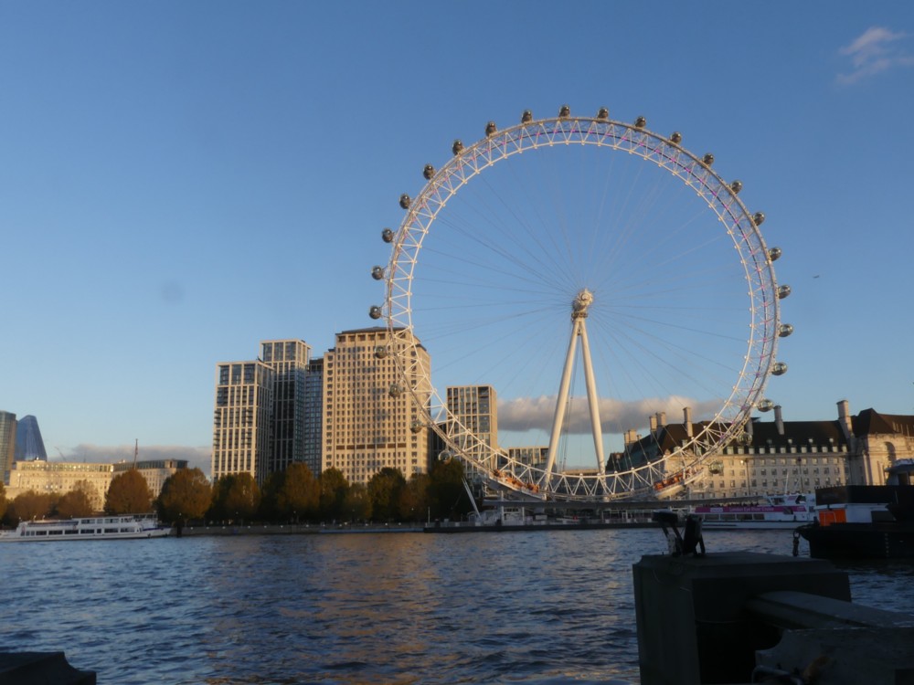
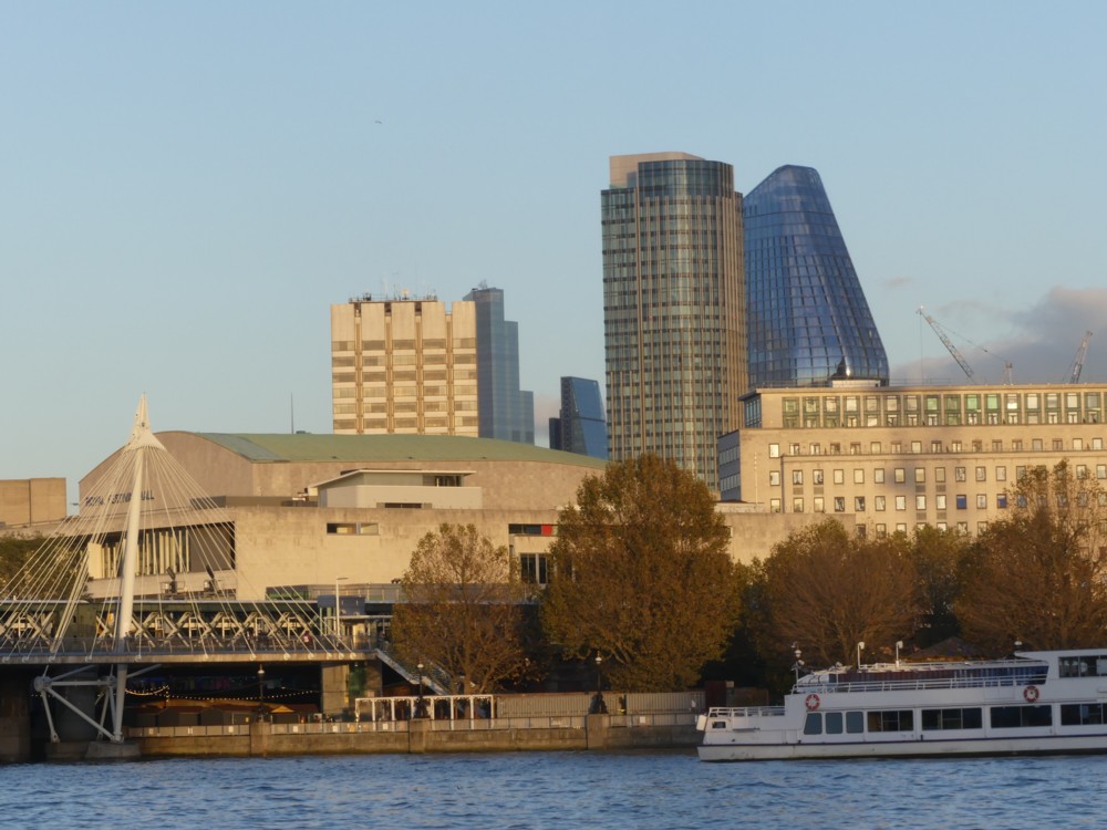
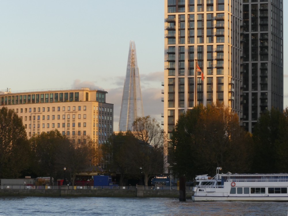
There were statues to be seen nearby, but there were bigger things, Big Things, further away, on the other side of the River:

Photo 1 uses the clutter associated with getting on and off of a boat to frame the Wheel. All the rest are entirely of more distant stuff.

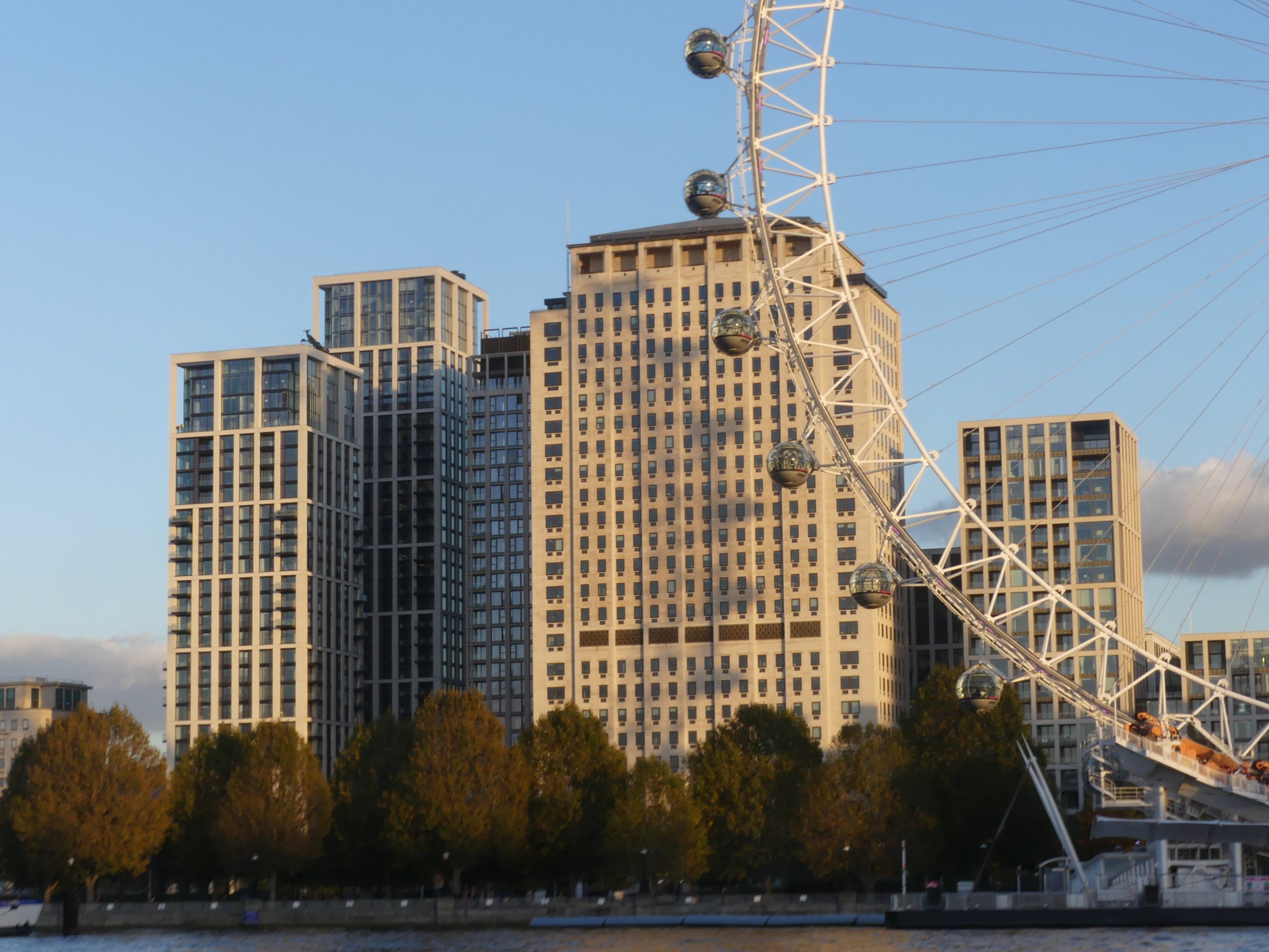
I like the colours, warm cream when the sun hits stone or concrete, dark glass, the perfect blue of the sky. My camera makes the dark glass, of such buildings as One Blackfriars (aka the Boomerang), all the darker by not wanting bright sunlight directly reflected to look too bright.

And once again with the shadow of the Wheel (for once London “Eye” works very nicely) on the Shell Building, but this time with the shadow seeming to be the wrong way round, as seen most clearly in photo 6 and also in photo 7. It is of course the shadow of the opposite side of the Wheel.

And in the further distance, in gaps, the Shard (photo 9), and a rather handsome view of 22 Bishopsgate (photo 5) looking like a more coherent shape than I am used to seeing, a bit like a ship, front on. Move along a bit, and we then see the Cheesegrater as well (photo 8).

These strange alignments all take a bit of getting used to when you first see them. This is because, like so many rivers in the middle of great cities, this river twists and turns, that being a big reason why the city got built here in the first place. By twiddling this way and that, the river brings valuable riverside spots closer to each other, and stirs up a lot more commerce than a straight river would. (See also: Paris.) But these kinks play hell with your sense of direction, or with mine anyway. I was on the north bank of the river, but, although I was looking straight across the river, I was nevertheless looking due east, rather than south. And back across another kink in the river again when seeing 22 Bishopsgate and the Cheesegrater, which are both part of the City Big Thing Cluster, which is on the north side of the river.

It is all part of London’s charm, and the charm of its Big Things. When out-and-abouting in London you can never be quite sure which Big Thing you’ll see next, through some gap in the foreground, or from what direction you’ll see it.

There are cranes to be seen, but very few.

Two videos I enjoyed

Both of them quite short, and both of them reached via favourite bloggers.

First, one of David Thompson’s clutch of oddities linked to last Friday. (There’ll presumably be more such tomorrow.) This particular oddity was about Who invented toast? As Matt Ridley (whose book about innovation I’ve been reading recently) would have predicted, lots of people. Toasting took a long time to catch on, as did the toaster. Key step towards it: mechanically sliced bread. Both had early drawbacks as well as advantages and were consequently slow to catch on.

And at 6k, watch a video about Iceland, and the matter of whether the Arctic Circle happens and will continue to happen in Iceland. The Arctic Circle moves, apparently. Whether the arctic circle happens and will continue to happen in Iceland depends on whether a very small island to the north of the main island of Iceland is still above water. My favourite bit in this video went something like this: “The only way to find out was to charter an airplane. So, I chartered an airplane.”

“War” in the category list below because Iceland and Britain had one about cod.